Ghana, Cote d’Ivoire sign map showing maritime boundary line

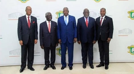
GHANA and Cote d’Ivoire have officially signed maps showing the maritime boundary line between the two neighbours.
The two countries have also agreed for the relevant institutions to expeditiously study the feasibility of a project to build and operate a thermal power plant at the border of the two countries.
The natural gas fuel to be supplied would be dispatched to both countries to support internal power generation and power generation in the West African sub-region.
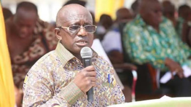
The above were contained in a statement issued by the Office of the Senior Minister, Yaw Osafo-Maafo, Chairman of Ghana’s Committee of the joint implementation of the International Tribunal for the Law of the Sea (ITLOS) judgement, after a two-day meeting with his Ivorian counterpart.
The meeting was to discuss among other issues the draft framework agreement for cooperation regarding the maritime boundary, hydrocarbons and other natural resources particularly in the area of exploitation and utilisation of seabed resources that may straddle the boundary.
The enhanced cooperation, the Senior Minister noted, would lead to certainty and boost investor confidence in mineral exploration within the Exclusive Economic Zone and beyond on the Western side of the country.
According to the statement copied the Ghanaian Times in Accra, “the parties believe that such cooperation was laudable and in line with the Strategic Partnership Agreement (SPA) for cooperation signed between the two heads of states of both countries on October 17, 2017.”
The Senior Minister, the statement said, had indicated to his Ivorian counterpart that “Ghana has since deposited her maps and charts with the Division for Ocean Affairs and the Law of the Sea (DOALOS) of the United Nations (UN) after parties had jointly plotted the seven coordinates and azimuth in accordance with the ITLOS ruling on August, 10, 2018.”


